Lorong Halus Wetland
Lorong Halus Wetland: a rubbish dump that became a reed bed
- Where
- Punggol
- Price
- Free
For three decades this is where the rubbish went. Now it's the prettiest sunset in Punggol.
Lorong Halus is the sunset stop for cyclists and walkers who have done the Punggol loop and want somewhere stranger at the end of it. Ride or walk in from Punggol Promenade, time it to reach the red bridge at golden hour, and bring water and a hat: it is open, unshaded and short on facilities, so it suits a purposeful loop far better than a shady stroll.
For three decades this flat stretch on the eastern bank of the Serangoon River was where Singapore's rubbish went: a sludge works for night soil from 1941, then a landfill from 1970 to 1999 covering more than a hundred football fields. When it filled up, the waste moved offshore to Pulau Semakau and the site was turned into a wetland designed to clean up after itself.
The idea is clever and slightly gross. Rainwater still seeps through the buried rubbish and picks up pollutants, known as leachate. Rather than let it reach the reservoir next door, it is pumped to pre-treatment tanks, run underground through reed beds and then into polishing ponds. NParks notes that the cattails across the site are part of that bio-remediation system, and a 6.4-kilometre underground wall, 18 metres deep, keeps untreated water out of the Serangoon Reservoir. Signboards along the paths explain it all, if you want the chemistry with your stroll.
The result is the opposite of a dump. Reeds, ponds and pale, rocky flats roll out under a huge sky, and it hardly feels like Singapore, apart from the fighter jets from Paya Lebar Air Base passing overhead. Birds nest here. Its obscurity is part of the charm.
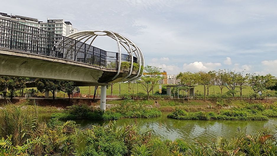
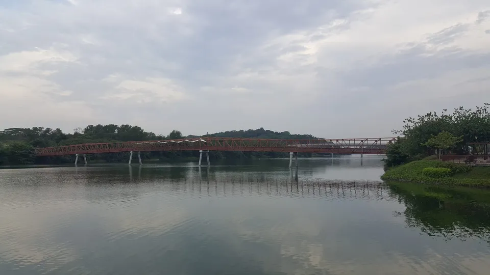
Then there is the Lorong Halus Red Bridge, which NParks likens to an old steel railway bridge. It spans the reservoir between Punggol and Pasir Ris and is the reason to come: stand in the middle at sunset and the water does the rest. Monkeys sometimes loiter near it, so keep food in your bag.
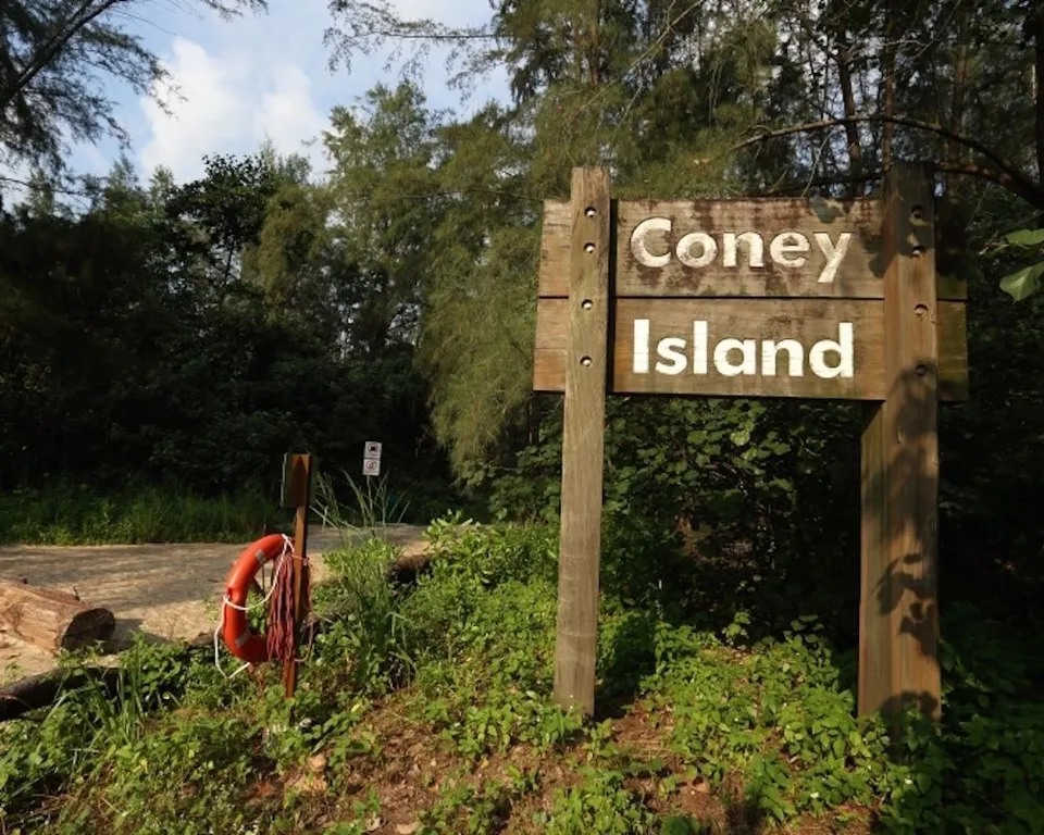
How to do it well: treat the wetland as part of a longer loop. Walkers and cyclists link it with Punggol Promenade, Coney Island across the dam and Punggol Waterway Park; a 12-kilometre circuit can start at Waterway Point, and on a bike it is an easy, flat ride. On foot, take the LRT from Punggol to Riviera and walk about 15 minutes along Punggol Promenade Riverside Walk. Come at golden hour, stand on the bridge, and enjoy knowing that the prettiest view in Punggol is built on thirty years of rubbish.
Good to know Lorong Halus Wetland sits on the eastern bank of Serangoon Reservoir between Punggol and Pasir Ris. Take the LRT from Punggol to Riviera station (Exit A) and walk about 15 minutes along Punggol Promenade Riverside Walk; cyclists can arrive by park connector. It is an open, unshaded site with few facilities, so bring water and sun protection.
Lorong Halus Wetland | Punggol | Nearest MRT: Riviera LRT (from Punggol MRT)
Plan your visit
- Where
- Punggol · Riviera LRT (from Punggol MRT) MRT
- Opening hours
- Check the official website for current hours
- Cost
- Free
- Good for
- A date, A friend, Myself
Details checked 14 October 2026.
- Lorong Halus Wetland: From Landfill To Landscape · Little Day Out
- Lorong Halus Wetland guide · TheSmartLocal
- North Eastern Riverine Loop (DIY walk) · NParks
- North-East Adventures w/ Coney Island & Lorong Halus Wetland · ExplorerSG
- Opening hours
Researched from the sources listed, not a first-hand review. Prices, hours and access can change — check the official site before you go.